Germany's Geography
Maps

This is Germany compared to the rest of the world

|
This is Germany in relation to other european countries.
|

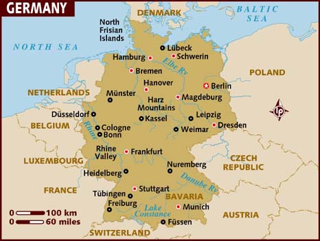
This picture shows the elevation of the land of Germany. The bright red is where the Alps and other mountains are.

This is a map of Germany's natural resources. It includes their farming, mining, forestry, and plains.

This map shows the average rainfall in certain parts of Germany. The green is where there is the most precipitation

This map shows the climate of Germany.
Seas

The North sea borders Germany. You can see this in the bottom left of the picture.

The Baltic sea borders Germany. This is shown in the bottom right part of the picture.
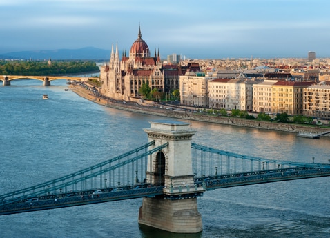
Rivers

Lakes |
The Rhine river is about 765 miles long. It flows from the Alps to the Netherlands, where it drains into the north sea.
|

Mountains
|
This is lake Constance. It is approximately 208 square miles.These are the Alps. They span across 11 countries including Germany. They cover over 80,000 square miles.
|
Seasons

Spring is March through May, Summer is June through August, Fall is September through November, and Winter is December through February.
